http://gpsinformation.net/main/topo-comp.htm
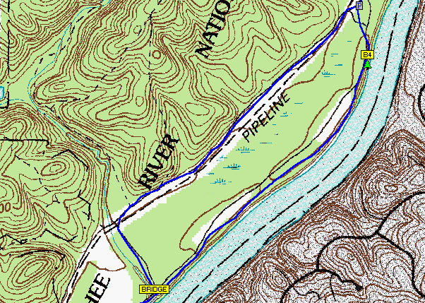
DRG maps is an acronym for Digital Raster Graphics. It is a scanned image of a US geological survey. The image inside the map neatline is georeferenced to the surface of the earth and fit to the Universal Transverse Mercator projection.
No comments:
Post a Comment